Spatial project
management.
Made easy.
More action
Less admin
+ Focus on your strengths by streamlining project and financial administration
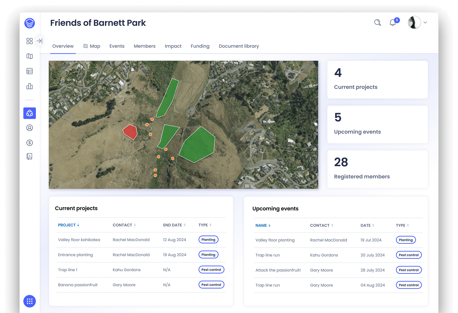
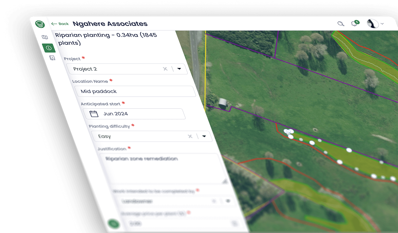
+ Intuitive mapping tools and dashboards to keep on top of things
Prioritise effort in the right places.
+ Maps combine rich data with local knowledge to target highest impact work
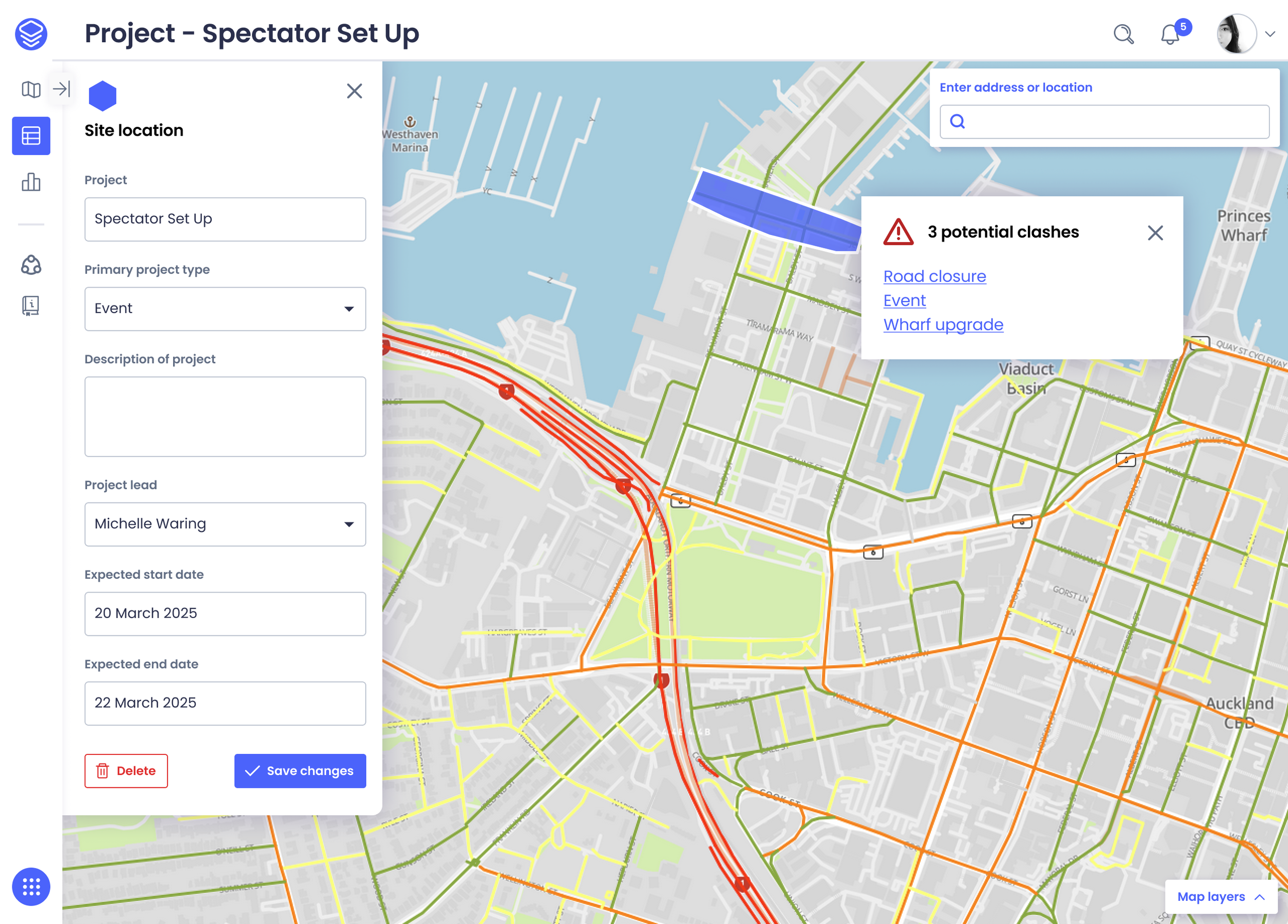
+ Recommended actions based on best practice approaches and spatial conflict alerts
Collaborate. Share. Showcase.
+ Make plans available for communities, volunteers contractors, funders, or any other collaborators
+ Build off best practice templates and learn from others excelling in your field
Get knowledge out of inboxes & sheets.
+ Keep your project knowledge and data in one secure, future-proofed space
+ Secure workflows for permissions, reporting, and auditing management
Pricing plans
Rather than expensive single user licenses, Horizon Plan offers affordable license bundles for organisations of any size
Or contact
George Wills - Sales Manager
+64 21 606 462
The planning and action tool for those working in:
Transport and logistics
Schedule your projects, manage safety risk, and utilise smart spatial-sense data to minimise disruption across your transport network
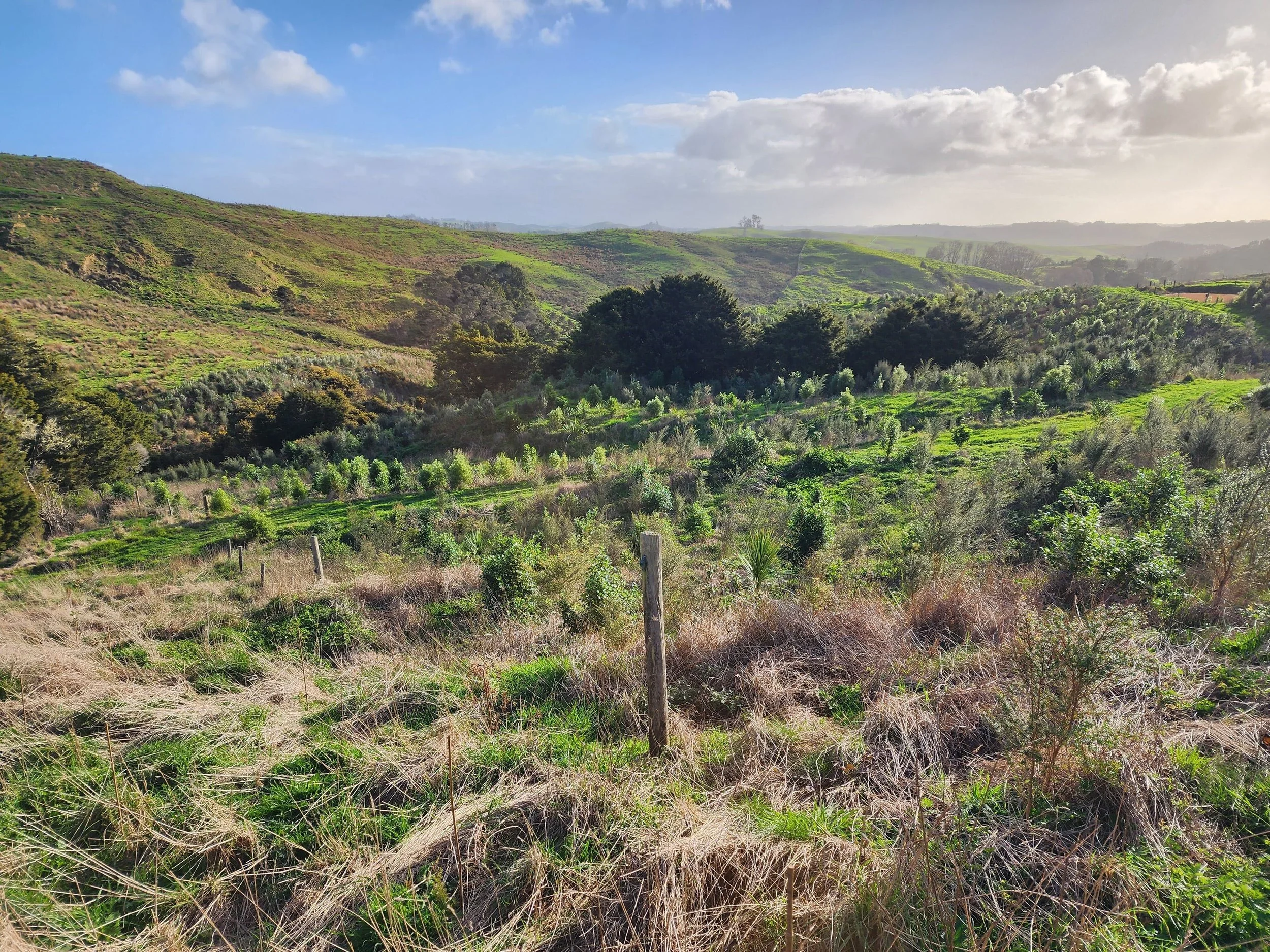
Environmental management
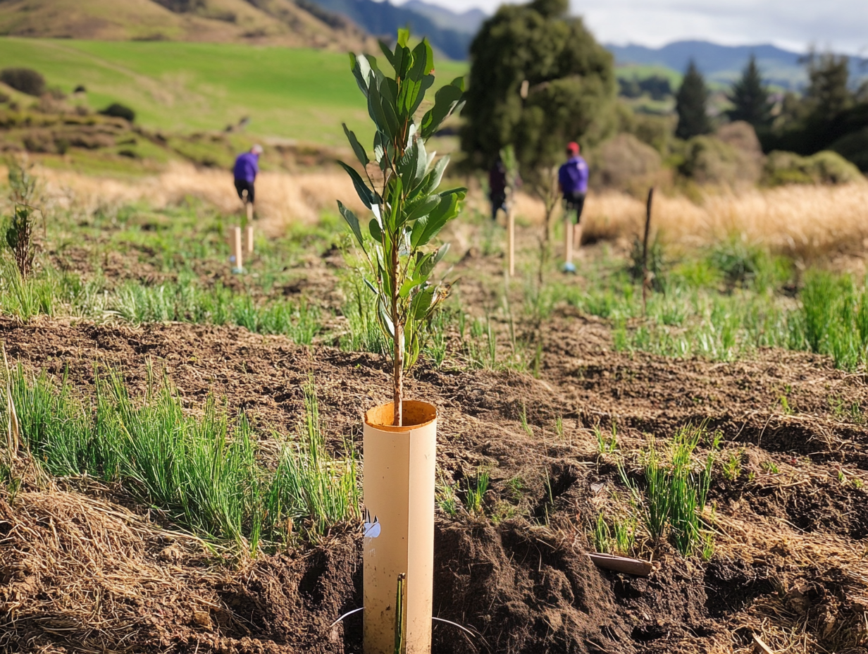
Coordinate investment into the right remediation activities, manage large scale collaborative programmes, and spend less time on admin
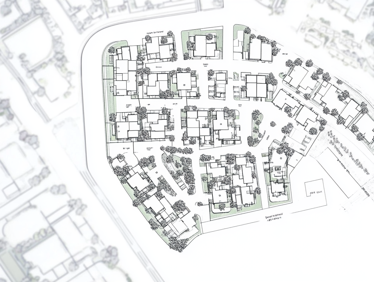
Property development
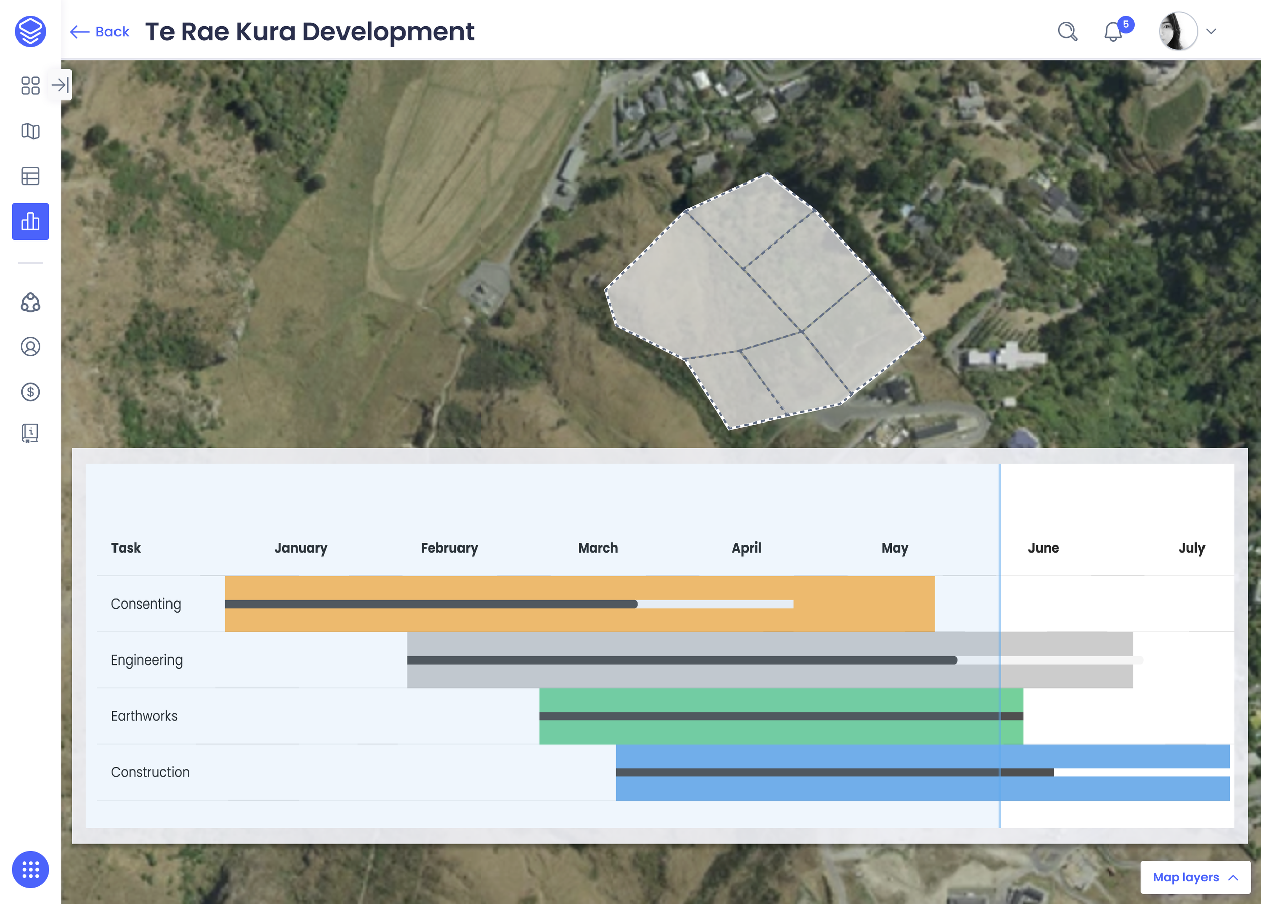
Manage planning and consent requirements, community consultation, and identify efficiencies across your development phases
Powering New Zealand’s largest modern remediation efforts
“This tool has been delivered at a time when our small team has primarily been focused on expanding on-the-ground work across the catchment. It provides both structure and flexibility to our workflows, and can be refined over time.”
Stephanie Versteeg
Amo-Rautaki Pākihi | Strategic Business Partner
Kaipara Moana Remediation
Contact us
We are currently developing the product and looking for groups to be in our beta customer group.
Interested in knowing more? Then please reach out.


